
Summary:
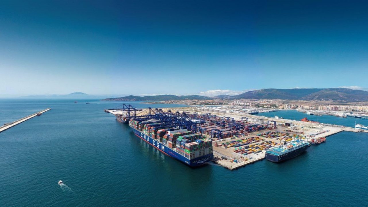
The Port Authority of the Bay of Algeciras (APBA) has participated as a facilitating agent in the VIPE project, which focuses on developing a tool for managing the risk and vulnerability of port infrastructure through the application of Differential Interferometric Synthetic Aperture Radar (DInSAR) technology and Artificial Intelligence (AI) algorithms.
The project was implemented over a 24-month period and received funding through the Ports 4.0 capital fund, launched by Puertos del Estado, under the Pre-commercial Projects category. The initiative was developed by the start-ups Detektia—a spin-off from the Topography and Geomatics Laboratory at the School of Civil Engineering (ETSI Caminos, Canales y Puertos) of the Polytechnic University of Madrid (UPM)—and Deep Insight, a spin-off from CEHINAV (Hydrodynamic Test Channel of the ETSI Navales), also part of UPM. The Port Authorities of Huelva and Castellón also participated as facilitating agents, providing development environments for the project’s use cases.
The overall concept involved the development of a multidisciplinary web-based service for managing the vulnerability of port infrastructure according to its failure modes (sliding, overturning, or subsidence), through the monitoring of its condition based on satellite image processing enabled by DInSAR technology. This technology makes it possible to detect deformations at any point on the planet with millimetric precision, without the need for ground instrumentation.
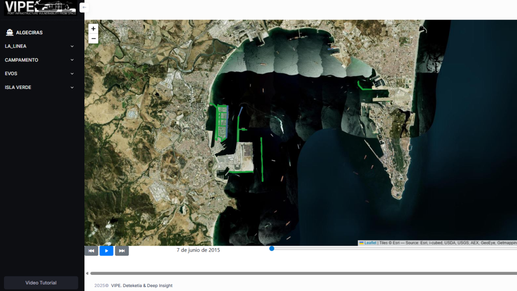
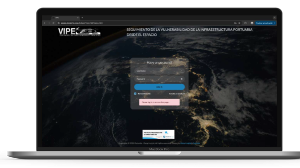
The project’s scope, funded by Puertos del Estado, included the digitalisation of 116 Vulnerable Areas of Interest (VAIs) in the ports of Algeciras, Castellón, and Huelva, as well as the generation of InSAR point clouds and the definition of key metrics for infrastructure deformation and displacement (quality, condition, rate, and change). In addition, APIs were implemented for satellite data processing and for integrating metocean variables and events into a multi-user web platform featuring interactive dashboards, configurable thresholds, and an advanced time series viewer. An event manager was also developed to record incidents, maintenance actions, and new works, facilitating traceability and decision-making. Finally, the project completed the development of the solution’s frontend and the integration of metrics, culminating in user feedback sessions to validate the tool and a final project demo held at APBA’s facilities.
Project innovation:
- Use of satellite DInSAR technology and open data from the Copernicus Programme, led by the European Commission (EC) in cooperation with the European Space Agency (ESA), to continuously monitor millimetric deformations in port infrastructure without the need for ground instrumentation.
- Development of a decision-support system for port infrastructure risk management through advanced analytics that correlate metocean time series with recorded events.
Project results:
- A software prototype based on a Software as a Service (SaaS) tool capable of processing hyperspectral satellite images to provide thresholded information on infrastructure condition, historical progression records, and correlative analyses with metocean variables, thus enhancing the management of port infrastructure vulnerability.


Leave a Reply